File:Official United Nations World Map - 20 February 2020.svg

原始檔案 (SVG 檔案,表面大小:1,457 × 741 像素,檔案大小:3.12 MB)
摘要
| 描述 |
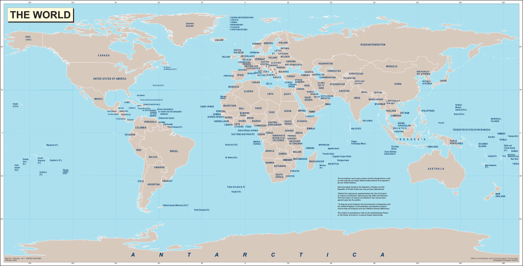
English: World map produced by the United Nations Geospatial Information Section (GIS, formerly Cartographic Section) and released on 20 February 2020.
Français : Carte du monde produite par la Section d'information géospatiale des Nations Unies (SIG, anciennement Section cartographique) et publiée le 20 Février 2020. |
|||
| 日期 | ||||
| 來源 |
English: World map from the United Nations Geospatial Information Section website. Map No. 4170 Rev. 18.1 UNITED NATIONS
February 2020 |
|||
| 作者 | United Nations | |||
| 授權許可 (重用此檔案) |
|
|||
| 其他版本 |
|

.svg)
檔案歷史
點選日期/時間以檢視該時間的檔案版本。
| 日期/時間 | 縮圖 | 尺寸 | 使用者 | 備註 | |
|---|---|---|---|---|---|
| 目前 | 2020年7月6日 (一) 06:56 | | 1,457 × 741(3.12 MB) | Yash400 | Converting everything to path, so that text scales properly. |
| 2020年7月3日 (五) 14:13 |  | 1,457 × 741(1.49 MB) | Chipmunkdavis | Plain svg | |
| 2020年7月3日 (五) 11:50 |  | 1,457 × 741(1.71 MB) | Yash400 | Uploaded own work with UploadWizard |
檔案用途
下列頁面有用到此檔案:
全域檔案使用狀況
以下其他 wiki 使用了這個檔案:
- en.wikipedia.org 的使用狀況
- en.wiktionary.org 的使用狀況